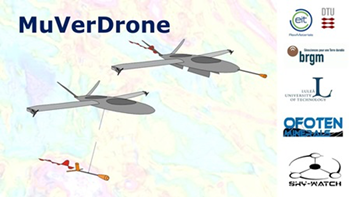
MuVerDrone is an abbreviation for Multi-Versatile Exploration Drone. Multi-Versatile Exploration Drone will be a versatile and comprehensive prospecting platform able to meet various needs of mineral exploration.
MuVerDrone is a three-year project (from 2018 to 2021) funded by the European Institute of Technology & Innovation – Raw Materials (EIT-RM). The project is led by DTU Space in collaboration with Luleå Technical University, the French Geological Survey (BRGM), and Ofoten Minerals as well as Sky-Watch A/S.
Obtaining reliable 3D geological models of the subsurface is an absolute necessity for successful raw materials exploration. This required the integration of surface geology with various types of geophysical data to reduce the non-uniqueness in interpretation.
Raw materials exploration – and particularly mineral exploration - is often hampered by expensive airborne geophysical surveys or by time-consuming ground surveys, even today. Therefore, an inexpensive, light-weight, long-range and comprehensive UAV platform is highly preferred.
One of the goals of the MuVerdrone project is to develop a versatile fixed-wing UAV-borne geophysical platform by integrating and testing a state-of-the art UAV (airborne fixed-wing drone) with various light-weight and high-resolution geophysical sensors, both hardware-wise and software-wise.
For this particular 2 years postdoc project, we focus on the integration of the magnetic sensors, which are critical to successful exploration. Our aim is to develop and integrate sensors directly on the UAV in a novel way and to develop advanced software that allow us to remove by far the majority of the magnetic noise of the platform itself and thereby enable us to acquire geological information.
The platforms we are testing on are capable of flying up to 100km. However, we plan to make a flexble setup that allow us to mount the magnetic sensor system on any type of UAV in the future. We therefore expect the system to be applicable with other and even longer range UAVs in the future, which will allow the setup to be used also for regional geological mapping.
As part of the project, flight and data acquisitions tests are conducted both in Denmark as well as at three mineral exploration sites in Sweden, Norway and France.
